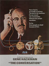
This is still one of my all-time Gene Hackman favorites.
Using anonymous cellphone data provided by the leading cellphone operator in Austria, A1/Mobilkom, the researchers developed the Mobile Landscapes project, creating electronic maps of cellphone use in the metropolitan area of Graz, Austria, the country’s second-largest city.
The researchers used three types of data — density of cellphone calls, origins and destinations of the calls, and position of users tracked at regular intervals — to create computer-generated images that can be overlayed with one another and with geographic and street maps of a city to show the peaks and valleys of the landscape as well as peaks in cellphone use.
“For the first time ever we are able to visualize the full dynamics of a city in real time,” said project leader Carlo Ratti, an architect/engineer and head of the SENSEable City Laboratory at the Massachusetts Institute of Technology. “This opens up new possibilities for urban studies and planning. The real-time city is now real: a system that is able to continuously sense its condition and can quickly react to its criticalities,” he added.
Can you think of any other uses for this technology? By whom?
In recent years, techniques to locate and track mobile devices have become increasingly available; such techniques were crucial to law enforcement officials in their investigation of the Madrid and London terrorist bombings. MIT’s Mobile Landscapes project takes advantage of these techniques at an unprecedented scale by mapping an entire urban region continually at regular intervals.


